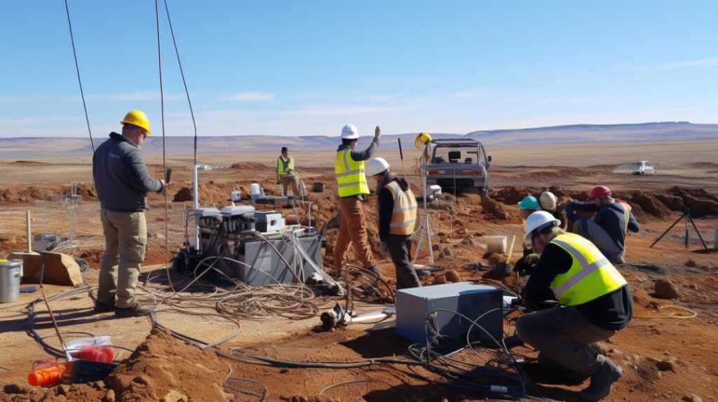
Bauma EMC offers a full suite of geophysical investigation services tailored for mining, construction, infrastructure development, and environmental monitoring. Our geophysical surveys provide critical insights into subsurface conditions without the need for extensive drilling—saving time, reducing costs, and minimizing environmental impact.
Using advanced instruments and data interpretation techniques, we help identify subsurface features such as rock layers, faults, voids, water tables, and buried utilities with precision.
Our Geophysical Services Include:
Magnetic Surveys Detection of subsurface mineralization, faults, and structural variations.
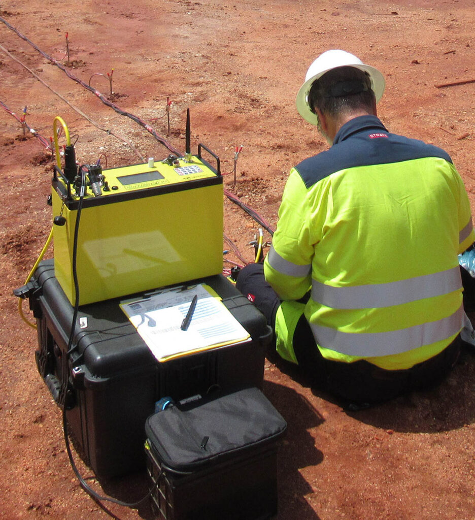
Vertical Electrical Sounding (VES) Investigation of soil resistivity for groundwater potential, bedrock depth, and foundation studies.
Ground Penetrating Radar (GPR) High-resolution subsurface imaging ideal for detecting utilities, cavities, and rebar mapping.
Seismic Surveys Used for subsoil profiling, structural investigation, and dynamic property estimation.
Rock Mapping Geophysical mapping in quarrying, mining, and construction areas for optimal material extraction.
Structural & Civil Engineering Surveys Support for infrastructure development, including foundation and bridge design studies.
Utility Surveying with GPR Accurate detection of underground pipelines, cables, and utilities to prevent damage during excavation.
Seismic Risk Assessment Evaluation of seismic hazards for infrastructure safety and compliance with building codes.
Slope Stability & Soil Piping Analysis Subsurface stability assessments to identify potential landslide or erosion risks.